
Precinct Maps and Polling Place Information
Find My Polling Place
Enter your address to find your polling place location using the Find My Polling Place tool. You can also view the complete list of polling places in PDF format. Voters can cast their ballot at their assigned polling place or at a central polling place in Boone County. Central polling places are open on Election Day from 6am to 7pm.
District Map Viewer
Identify your districts by entering your address in the District Map Viewer. The districts in which a citizen resides dictate the issues that appear on their ballot, the elected offices for which they may cast a ballot, and the tax districts that determine their real estate and personal property taxes.
Precinct Map Viewer
The Precinct Map Viewer is an interactive web viewer that can be used to reference current voting district information for Boone County including precincts, commission districts, and legislative districts.
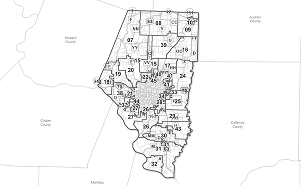
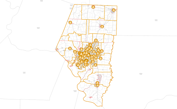
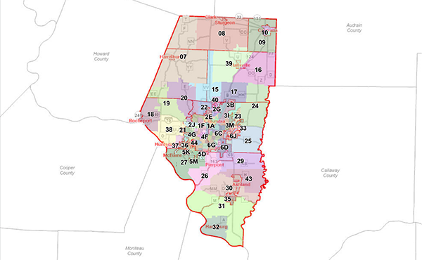
Map Gallery
The map gallery below contains a collection of maps created for viewing current voting district information for Boone County including precincts, commission districts, and legislative districts. These maps may be viewed and downloaded as PDF documents.
- County Map of Precincts
- City of Columbia Map of Precincts
- Commission District 1 Precinct Map
- Commission District 2 Precinct Map
- County Map of Commission Districts
- City of Columbia Map of Commission Districts
- U.S. House District 3 Precinct Map
- U.S. House District 5 Precinct Map
- County Map of U.S. House Districts
- City of Columbia Map of U.S. House Districts
- Legislative District 44
- Legislative District 45
- Legislative District 46
- Legislative District 47
- Legislative District 50
- County Map of Missouri Legislative Districts
- City of Columbia Map of Missouri Legislative Districts
- City of Columbia Ward 1 District Map
- City of Columbia Ward 2 District Map
- City of Columbia Ward 3 District Map
- City of Columbia Ward 4 District Map
- City of Columbia Ward 5 District Map
- City of Columbia Ward 6 District Map
- Centralia R-6 School District Map
- Columbia Public Schools District Map
- Fayette R-3 School District Map
- Hallsville R-4 School District Map
- Harrisburg R-8 School District Map
- North Callaway R-1 School District Map
- New Franklin R-1 School District Map
- Southern Boone County R-1 School District Map
- Sturgeon R-5 School District Map
- City of Columbia Road Map
- County Road Map
- County District Map of Civil Townships